Rural Services

|
Vegetation Management
|
|
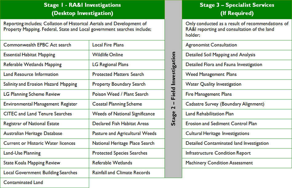
Risk Analysis & Investigation
|
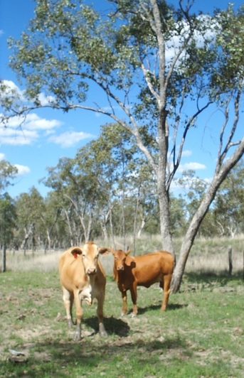
Many landholders fail to conduct a Risk Analysis & Investigation (RA&I) before they purchase a property or start development. They risk issues such as financial hardship, production losses and legal action for things like unintended legislative breaches which could be prevented by even the most basic investigation of the constraints the property may have on it.
In the same way that you might undertake building and pest inspections before purchasing a new home, it’s important to conduct investigations on a property to ensure there will be no surprises after you purchase. Before you buy or before you get the machinery onto the paddock, ask yourself these questions:
|
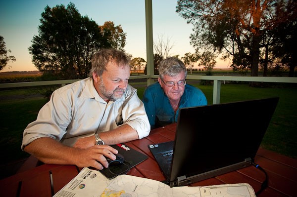
These questions all have answers that may affect your livelihood or potential to crop or graze. The implications of these questions, along with many others, are ‘real’ and won’t go away if you ignore them. Many buyers, when buying a property, or coming on to a property following purchase, or simply changing from grazing to cropping or visa-versa, need to have these questions answered before they move forward. Don’t just assume your lawyer or real estate agent will give you the answers. They only provide the basics as per their legal and moral obligations. CROSSROADS Rural & Environment can provide you with the full suite of answers because we know the land, the legislation, the processes, forms, licences, databases and Government departments… we have the expertise. While we are now working with landholders in NSW and Qld to complete a Risk Analysis & Investigation (RA&I) relevant to their properties, we are also working with landholders who haven’t completed a RA&I and are being prosecuted by Commonwealth, State and local government. From our experience, it is far easier, and cheaper, to complete a RA&I earlier rather than later. |
About CROSSROADS Rural and Environment's service
|
To our knowledge, CROSSROADS is the only company completing the full suite of rural Risk Analysis & Investigation (RA&I) services tailored to the individual property.
We have ecologists, planners, environmental engineers and mapping capability and agricultural specialists available to ensure you receive the correct advice. We also ensure we have personnel available outside of normal business hours should you require clarification on any issue. For each Risk Analysis & Investigation (RA&I), we will:
|
Each report is written without confusing acronyms or, if acronyms are used, a glossary of terms is provided to explain them. |
Before you start developing your country, please, invest in a RA&I and protect yourself.